|
The Corps of Engineers' Buford Dam
|
|
|
Buford Dam impounds Lake Lanier, one of the most (ab)used Corps facilities.
The lake serves as the one of the primary water sources for the Metro Atlanta
areas, and due to the proximity, is visited by bazillions of people annually.
Construction on the dam was started in 1953, and was finished in 1956. It
took two years to fill the lake.
|
|
|
The dam consists of the earthen main dam, 192 feet high by 2,360 feet long,
and three earthen saddle dikes that bring the total length to 6,600 feet.
There is no gated spillway, but an uncontrolled spillway, about a
mile from the dam itself, keeps floodwaters from overtopping the dam.
|
|
|
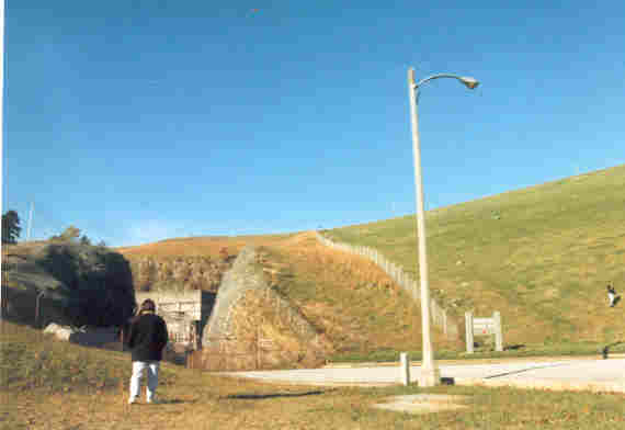
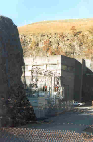
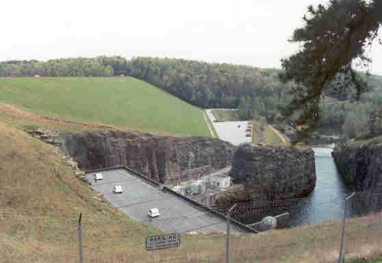
The powerhouse was carved out of bedrock on the west end of the dam. This shot
shows a glimpse of the powerhouse visible around an "island" of
rock that was left after construction. Buford can produce 86 Megawatts,
normal dependable capacity is given as 73 Megawatts.
|
|
|
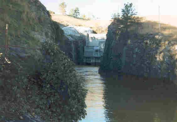
This is a shot down the other side of the "rock island", showing
the tailrace channel where the water exits from power production.
|
|
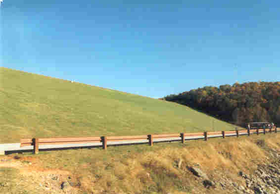
A few years later, in April 2002, on a lazy Sunday afternoon, we decided
to go back and get some more shots. The dam used to be less than an hour
from us, but with the traffic around the Mall of Georgia and other new
developments, it is at least an hour or more from us now. The weather
was iffy, but we were bored, so off we went.
|
|
|
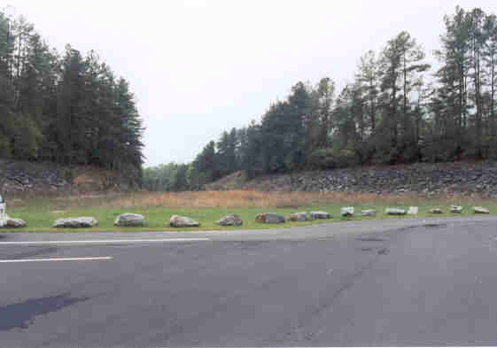
One of the things we wanted to see was the spillway. It is not obvious
where it is, but after studying the topo maps and looking at photos at
terraserver, we had a few likely candidates in mind. We scored on the
first one at Lanier Park. This is a view towards Buford Dam Road from
the end of a parking lot...
|
|
|
... that is the beginning of the spillway! All normal releases from Lake
Lanier are through the powerhouse: with all units maxed out there is
about 12,000 cfs going through the turbines. There is also a "flood
control sluice" at the powerhouse that can release an additional
11,500 plus cfs, but if that ain't enough, when the lake hits 1085 feet
(MSL, normal pool is 1070 winter, 1071 summer), water starts flowing
through this channel. The "300 Year Flood", which the dam is
designed to survive, takes the lake all the way to 1100 feet! The dam
and saddle dikes top out at 1106. By the way, with the turbines maxed
out and the flood sluice open, the river is already flooded downstream.
Just remember this is the worst case scenario. So far the spillway has
never been used: the highest the lake has ever been is 1078.
|
|
|
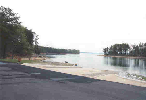
But, when not saving the dam, it's a nice boat ramp!
|
|
|
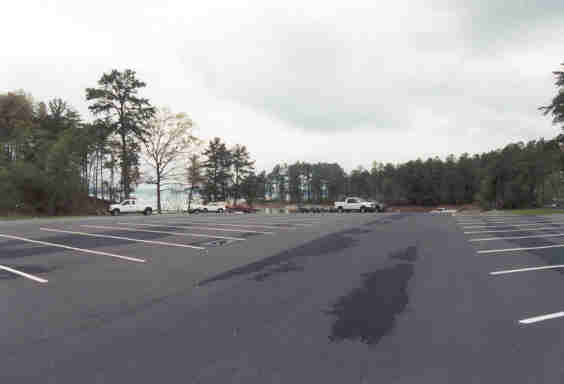
When entering Lanier Park, you drive by saddle dike 3. The park has just
been reopened after remodeling, and more features are in the works, like
a beach and picnic pavilions. Well worth a visit!
|
|
|
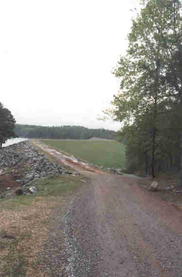
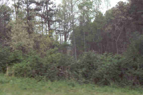
This is the other end of the spillway... you can just make out a
clearing in the center of the picture. In the event of a spill here, it
flows into the Richland Creek channel, to rejoin the Chattahoochee River
not quite a mile downstream from the dam. Buford Dam Road will almost
certainly be washed out, but in a flood of that magnitude, so will just
about everything else around here... except the dam. That's the point of
an emergency spillway. We saw the same type of thing at
Tellico Dam.
|
|
|
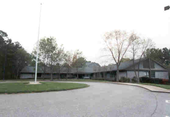
The Lake Lanier Resource Management Office. A very nice facility, with
interesting displays, literature, and friendly folks to answer questions.
|
|
|
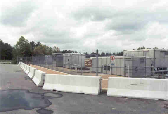
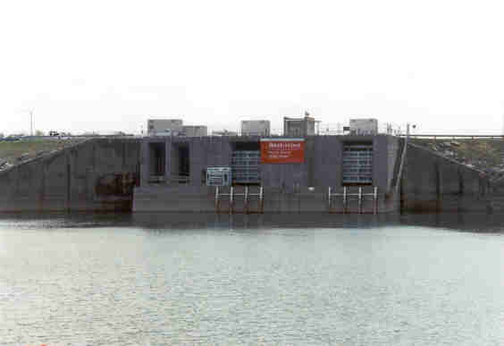
The intake control cranes at the top of the dam. The extra barricades
seen here are in response to September 11. This particular parking area
was just re-opened to the public. For a period of time, the road across
the top of the dam was closed. And, unfortunately, powerhouse tours are
still suspended indefinitely.
|
|
|
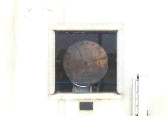
A readout to show any interested passerby the "Gate Opening in
Feet". This is probably to one of the big turbines. Buford's power
house has two units rated at 40 Megawatts, one at 6 Megawatts, and a
gate on the flood control sluice as well.
|
|
|
The intake structure from the lake side.
|
|
|
This shot shows the top of the powerhouse, the tailrace channel, and
the transformer yard, probably the transformers for the two big
generators.
|
|
|
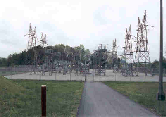
The switchyard is at the top of the dam.
|
|
|
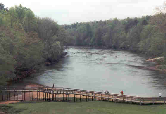
And a look down the 'hooch. It is a nice river up to this point... too
bad the next stop is Atlanta.
|
|
Buford Dam stats
|