|
The Augusta Canal
|
|
This was a new one on us. We stumbled across an article in one of the
local papers, saying that some folks in Augusta, GA were upset by the
Corps of Engineers' plans to decommision the Augusta Lock and Dam. Lock and
Dam? Where? We had never heard of it! So, this was the perfect excuse to go
renew some family ties with the cousins in Augusta! (Shucks, it had only
been five years since the reunion...)
|
|
The article was about the New Savannah Bluff
Lock and Dam, but while we
were there, we were also introduced to the Augusta Canal. The Augusta
Canal was built in 1845, and enlarged in 1875, to divert some of the
Savannah River into a 9 mile canal system to serve downtown Augusta.
Locks were included to allow shipping to support the area's textile
industry, and to supply water power and later hydroelectric power. This
thing turned out to be much more extensive than we thought, so we didn't
get the whole project (another quest in the planning stage!). But here
is what we did get, and you can check out this
link for more information until
we get the rest of it.
|
|
|
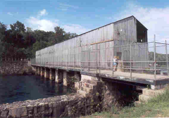
This shot shows the "headgates" that control the flow of water into
the canal, and some of the lock.
|
|
|
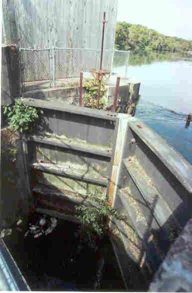
This is a view of the high water side gate. We are not sure, but were are
guessing that the wheel controlled the water valve to raise the water level
in the lock.
|
|
|
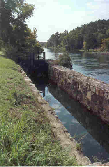
A view of the rest of the lock, and the start of the canal. The brochure we
found mentioned a bike ride down the "towpath", which would be where
mules were used to tow the barges up and down the canal, and
where the modern day "mules" got their name.
|
|
|
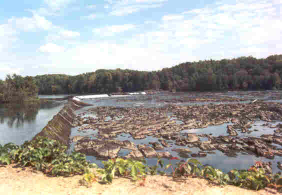
This shot shows the diversion dam, a simple overflow type. It also illustrates
the concept of the "fall line", which marks the change in terrain
from the mountainous regions to the lowlands. That what all the rocks in the
river are about.
|
|
Obviously, we have a lot more research to do, and a lot more pictures to
take. We did not even get to the downtown area, where there is much more
to see. We'll be back Real Soon Now!
|