| Nantahala Power and Light's East Fork Tuckasegee River Project |
| This is an interesting project located in Jackson County, NC. It consists of four dams and reservoirs and three powerhouses, located on the East Fork of the Tuckasegee River or primary tributaries. The dams are Cedar Cliff, Bear Creek, Wolf Creek, and Tanasee Creek. Cedar Cliff and Bear Creek each divert water to a dedicated power house; the other two feed a common power house known as Tennessee Creek... or is it Tanasee?? The two names seemed to be used interchangeably throughout the reports. The final license application referred to the dam as Tanasee, the power house as Tennessee, so we'll follow that convention. Combined capacity is given at just over 26 Megawatts. Construction of the project began in October 1950 at Cedar Cliff and was completed at Tennessee Creek (the power house) in May 1955. This project was built and operated by NP&L until Duke took over in 1988. The FERC licensed the project (#2698) in 1980. |
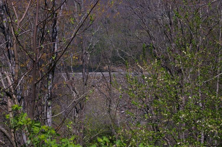
| On our initial visit we followed NC 281 from NC 107 near the Tuckasegee community. The only dam we could actually see was Wolf Creek, and we didn't see any of the power houses. We are planning on some alternate routes on our next visit, so maybe we'll have a little more to show at that time. But, from what we read, all the developments are similarly constructed: rockfill dams with a small single gated spillway with something new to us: an "erodible fuse plugs". After seeing the fuse plugs at Wolf Creek, we decided that they are a "poor man's flood gate". The idea is that if the lake gets high enough to overflow the plug, it starts eroding and, in essence, opens a flood gate to allow excess water to escape, without overtopping the dam. Of course, once the gate is opened, it can't be closed without dump trucks full of material, but I suppose this is only supposed to happen during the hundred year flood or suchlike. In the meantime, you don't have the expense of maintenance and annual testing of a tainter gate or similar mechanism for the 99 years the thing is not needed. This is all speculation on my part... can anyone out there verify or correct me?? |
|
|
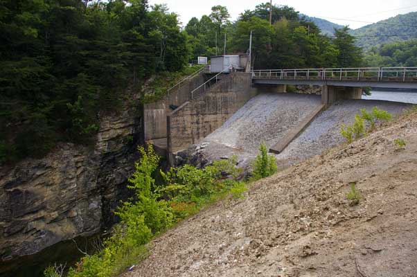
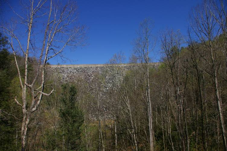
| This shot shows the main part of Wolf Creek Dam. The dam is 810 feet long; maximum height is 175 feet. The crest is 30 feet wide, and this is how NC 281 crosses Wolf Creek. The dam is located 1.7 miles upstream from the confluence of Wolf Creek and East Fork Tuckasegee River. |
|
|
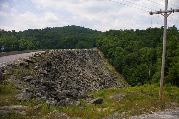
| The spillway has a 25 foot wide by 19 foot high tainter gate, and two of the erodible fuse plugs. From this vantage point the fuse plugs just look like a pile of dirt and gravel, but I'm guessing the composition is carefully controlled: it has to hold water until it is overtopped. |
|
|
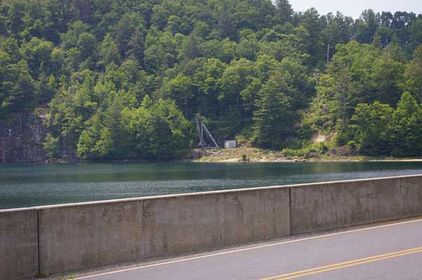
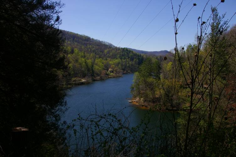
| Across the lake we see the intake to the tunnel. The lake is 176 acres at full pond level of 3,080 feet MSL, with a total volume of 10,040 acre-feet. The drainage area is 15.2 square miles and average inflow is about 51 cfs. The tunnel runs some 1,074 feet to merge with the Tanasee Creek tunnel. |
|
|
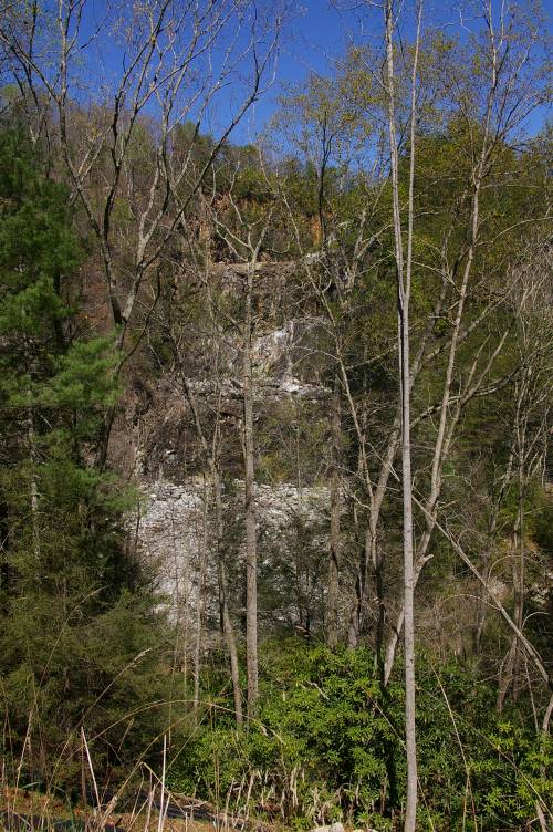
| Just downstream of the spillway... this would be a good one to catch spilling! (but not from downstream!) |
| On a trip to Cherokee, NC in April of 07, we took a "long cut" to see if we could see a little more of the project. Coming up NC 107, we turned off just south of the river on a little road identified as SSR 1135. |
|
|
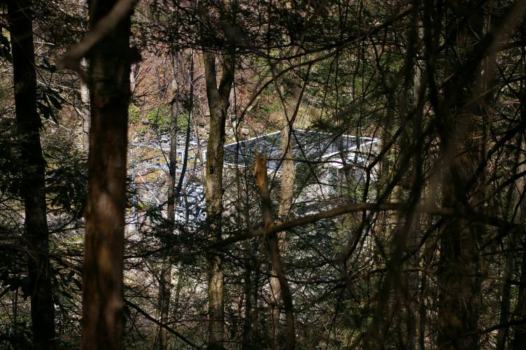
| Before the pavement even ended, we were rewarded with a view of Cedar Cliff Dam... through the trees, but better than nothing! We couldn't see the power house, though. We proceeded on, and sure enough, the pavement ended... |
|
|
| At one point we got a nice view of Cedar Cliff Lake. |
|
|
| And before the road got too bad, we found Bear Creek Dam. |
|
|
| Instead of a gated spillway, it looked like it had an uncontrolled spillway chisled out of rock on the left side of the dam. |
|
|
| And tucked into the trees down close to the river channel was a power house and switchyard. |
|
|
| Looking back as we left is a look at the left side of the dam and the spillway. |
|
|
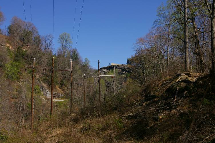
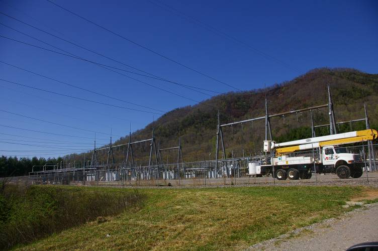
| This is a large switchyard that we actually drove by the first time in the area... |
|
|
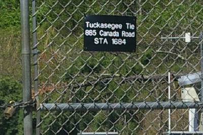
| identified as the "Tuckasegee Tie". This probably handles both the east and west fork Tuckasegee Projects. The two forks of the river merge just west of here, on the other side of NC 107. |
| Here are some stats... |
| East Fork Tuckasegee Project Reservoir Stats | ||||
| Cedar Cliff | Bear Creek | Wolf Creek | Tanasee Creek | |
| Full Pond (feet MSL) |
2,330 | 2,560 | 3,080 | 3,080 |
| Surface Area (Acres) |
121 | 473 | 176 | 40 |
| Total Volume (acre-feet) |
6,200 | 34,650 | 10,040 | 1,340 |
| Drainage Area (square miles) |
80.7 | 75.3 | 15.2 | 24.9 |
| Average Inflow (cfs) |
229 | 225 | 51 | 86 |
| We were wondering how you feed a power house from two different reservoirs, without the higher one trying to fill up the lower one. Note the Tanasee Creek and Wolf Creek have identical full pool levels! |
| East Fork Tuckasegee Project Powerhouse Stats | |||
| Cedar Cliff | Bear Creek | Tennesssee Creek | |
| Turbine/Generators | 1 | 1 | 1 |
| Net Head (feet) |
170 | 230 | 502 |
| Electrical Capacity (Megawatts) |
6.375 | 9 | 10.8 |
| Hydraulic Capacity (cfs) |
555 | 640 | 270 |