|
Nantahala Power and Light's Queens Creek Dam
|
|
|
|
|
On our Cherokee trip in April 07 we manage to bag Queens Creek Dam
at the end of a very interesting drive up the side of a mountain on
"Winding Stairs Road". We didn't take any pictures on the way
up, figuring that we would have to come back the same way. But, as it
turns out, the road from the lake back to SSR 1310 was a nice paved
road, so we opted to take that instead. So, we missed some good pictures
of the scenery and the pipeline.
|
|
|
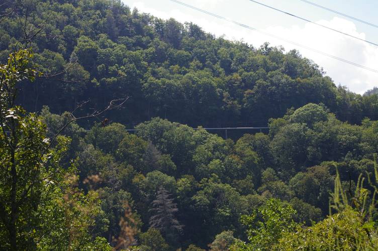
But, in September 07 we were in the area again. This time, we started at
the top, and drove down Winding Stairs Road from the dam to US 19, in the
Nantahala Gorge. So, we got a couple of shots of the pipeline, passing
through the middle of nowhere!
|
|
|
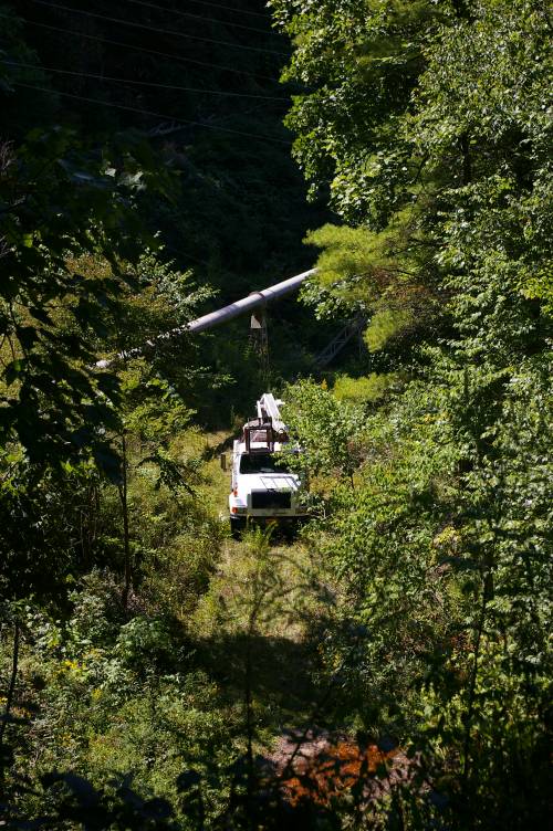
You know, when you have facilities in the middle of nowhere, you still
have to work on them. I'm glad we didn't meet these folks on Winding
Stairs Road!
|
|
|
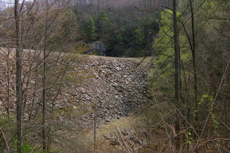
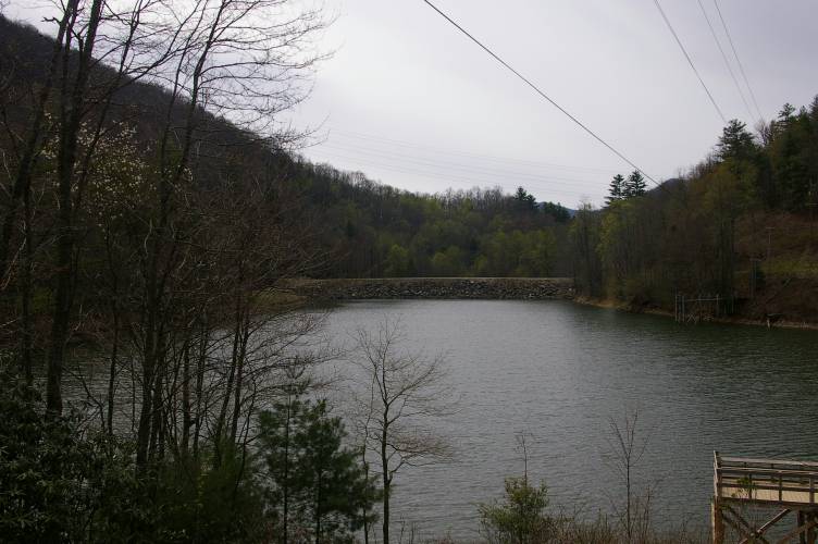
Queens Creek Lake is a very small lake at the 3000 foot level on a
mountain that Topo identified as Briertown Mountain. This mountain forms
the east side of the Nantahala Gorge. Here is a shot of
the back side of the dam from the far end of the lake.
|
|
|
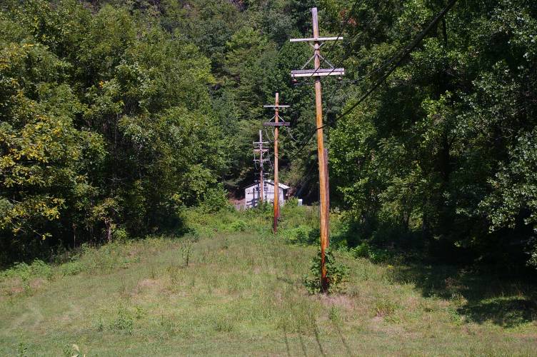
The Power House is down on the river, across the street from the Nantahala Power
House. It looks like the power is transferred at generator voltage to
the Nantahala transformer/switchyard.
|
|
|
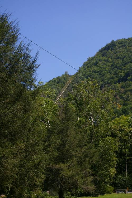
This is a shot of the Queens Creek penstock from the driveway to the
Nantahala Switchyard. This driveway is also the Bartram Trail, which
goes behind the Nantahala Power House and up to the surge tank, eventually making
its way close to the Nantahala Dam. I haven't found the exact figures
yet, but, from Topo, it looks like the head is at least 800 feet. Should
be good for a watt or two!
|
|
|
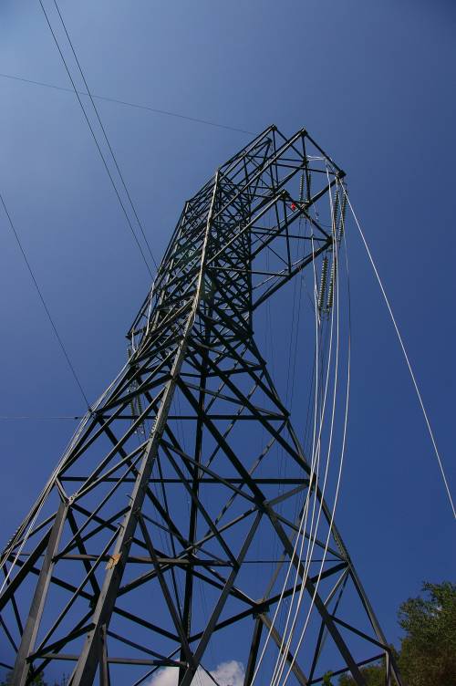
This time there were crews working in the switchyard, and this tower was
obviously undergoing maintenance of some kind!.
|
|
|
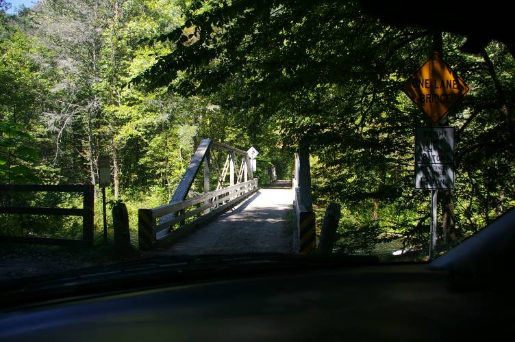
The end (or the beginning) of Winding Stairs Road, next to US 19. These
two bridges (look closely!) cross the Nantahala River, as it parallels
US 19 through the gorge. The Great Smoky Mountain Railroad is just
across the street!
|
|
Some stats for the
project:
|
|
Dam: 382 feet long x 78 feet high, rockfill
|
|
37 Acre reservoir
|
|
6,250 feet of penstock/pipeline
|
|
1.44 Megawatts
|
|
Constructed 1947-49
|