|
Dams on the Little River, North East Alabama
|
|
We read somewhere recently that, without any dams or
development, the Little River was one of the cleanest and most pristine in the
world. We beg to differ: the river is still very clean, but there are five dams
on the river that we know of!
|
|
|
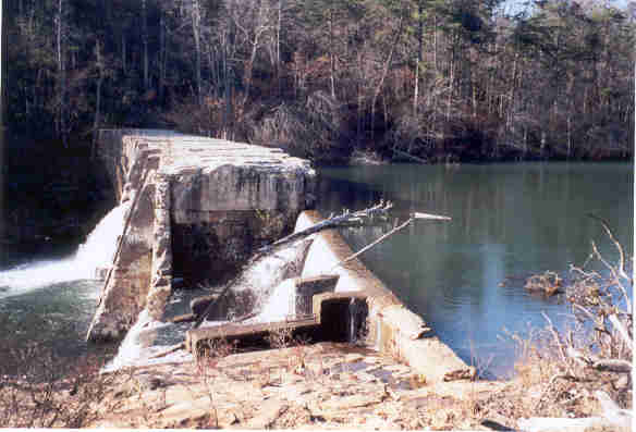
The East side of the Lahusage Dam, on the East Fork.
Original purpose believed to be the creation of a lake resort, and it also used
to serve as a bridge.
|
|
|
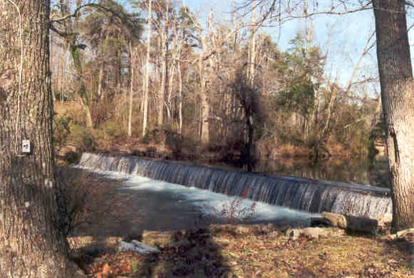
The "Mentone Dam", in the town of Mentone, AL on the
West Fork. Believed to be used for a reservior for Mentone, and also for
recreation: there is a girl's camp directly adjacent.
|
|
|
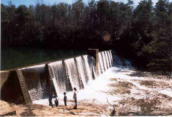
The A.A. Miller Dam, about 50 yards or so upstream from
Desoto Falls. With a turbine at the base of the falls, it produced some of the
first hydro power in Northeast Alabama. The power generation capabilities have
been removed, but you can still see some of the concrete support
structures.
|
|
|
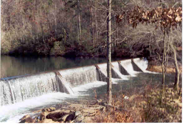
The "Ravine Dam" (not sure if this is the actual name),
behind Chalet number 6 at the Cloudmont Ski & Golf Resort, on the West
Fork. Original Purpose unknown, probably recreational.
|
|
|
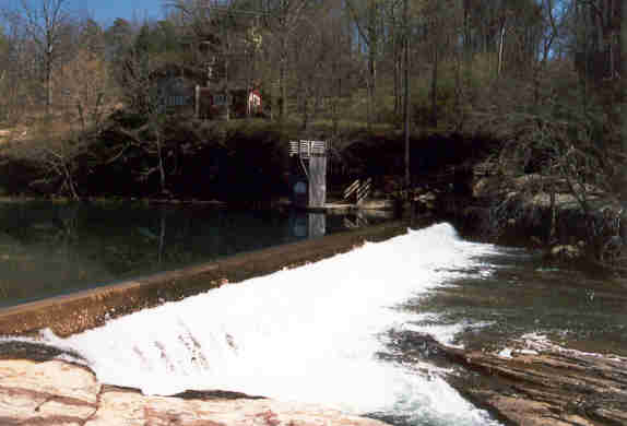
"Howard's Dam", on the northern border of Desoto State
Park, on the West Fork. Original purpose was to provide water power for a mill.
The support for the wheel and extensive channeling rockwork are still visible.
There is no historical marker or other information at the site, but we found a
guy in Fort Payne that had an engraving and a little bit of information about
it.
|
|
|
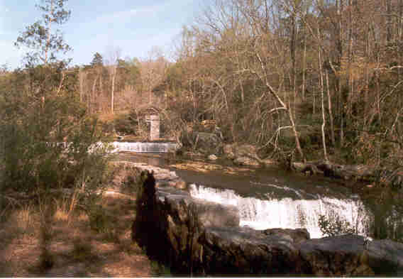
This view downstream of the dam shows a natural drop and
some of the mill channel rockwork.
|
|
|
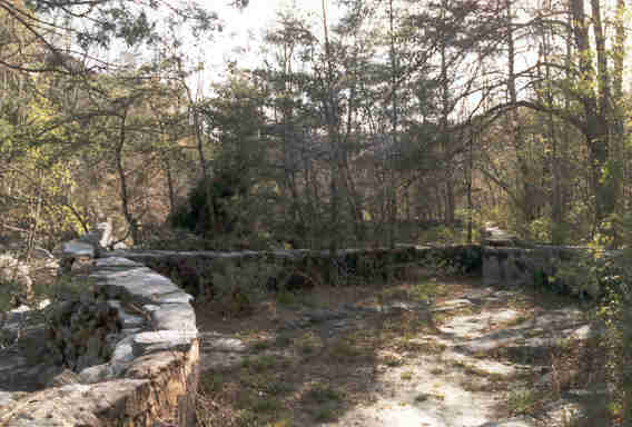
Some more of the rockwork that channeled the water from the
dam to the wheel.
|
|
|
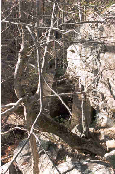
In the center of this not-too-good image is the supports
for the mill wheel. We have some better shots... we'll get them up when we
can find them!
|
|
Once the river enters the park, there are no more
developments or dams other than the park itself. The East and West Forks
converge just south of the park, and a few miles further downstream is Little
River Falls, which marks the beginning of the Little River Canyon. The land
between the park and the canyon is a Wildlife Management Area, and Little River
Canyon is one of the newest additions to the National Park Service's Preserve
Areas, so hopefully it is fully protected now.
|
|
|
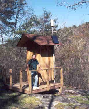
As the river comes out of the canyon, it empties into
Lake Wiess on the Coosa River, part of the Alabama-Coosa-Tallapoosa River
Basin, eventually to empty into the Gulf of Mexico at Mobile Bay. This gauging
station is in the Little River Canyon Mouth Park, at the very end of the
canyon. This place used to be a real cesspool, but the National Park Service
has done a fantastic job of cleaning it up. While camping was once allowed
there, the Park Service maintains it as a day use facility. We ran into a Park
Service employee while we were there, and he said it was because the area is
subject to flooding, and when it does flood, the only access road is cut off.
Not a good place to be camping, for sure, especially if you are prone to not
pay attention to the weather.
|